How We Found It: Shawn was inspired to research this area thanks to a friend’s Facebook post.
Date and Distance Hiked: 2/24/13, 9.6 miles
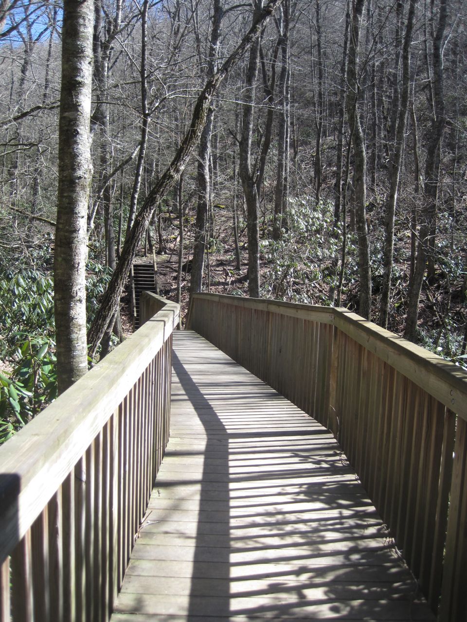
Trailhead bridge for Graybeard Trail
Find the Trailhead: On Highway 9: Take I40. From exit 64, drive north through Black Mountain and through the stone arches into Montreat.
Because of the trail we wanted to hike, we took Highway 9 until it became Montreat Road, became Assembly Drive, and then turned into Graybeard Trail (still a road, not a trail). It winds through a lovely mountain neighborhood.
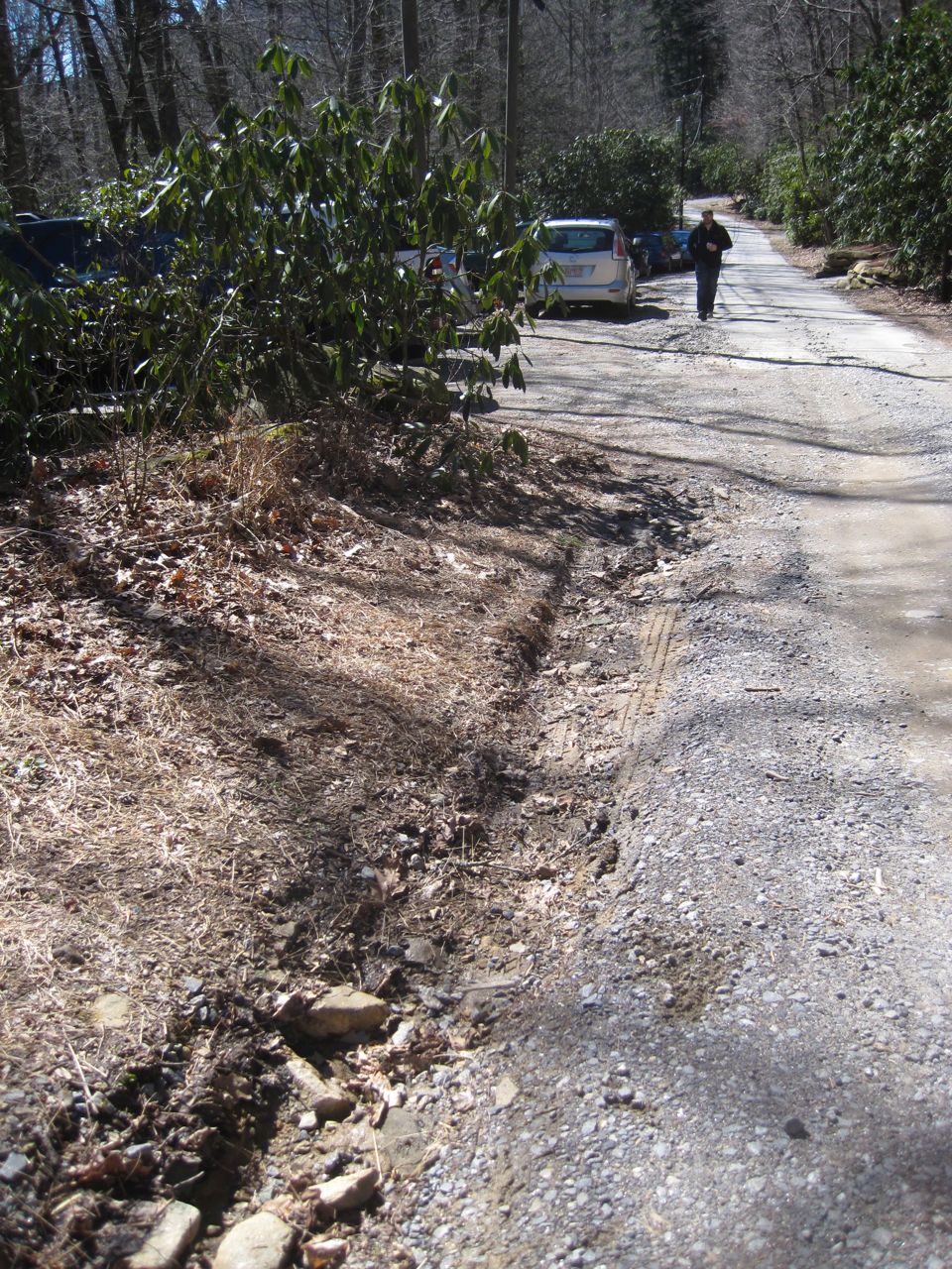
The parking area is near the terminus of Graybeard Trail road, on the right side. You’ll see a little building that houses electrical stuff, along with several stands holding basic trail information.
For the Graybeard Trail, cross the bridge that you can’t miss, on the same side of the road as the parking area, and you’re on your way.
Map: At the bottom of this page on the Montreat website, click “Download a free trail map.” Probably a good idea to print this out, especially if you’re hiking on Sunday. They apparently sell maps in the Moore Center store, but that’s closed Sundays.
Moore Center is closed on Sundays
Bathroom Situation: If you’re coming from Charlotte, find a rest area on I40 a few miles before exit 64. There may be more bathrooms available in Montreat when it’s not Sunday.
Fees (Where/How Much): Free.
Our Route: Graybeard trail to the top and back. A great 4.5-hour hike (2.5 hours up and 2 hours down).
What Nobody Told Us: The trails are not well maintained – this isn’t a State Park – so expect some of the rocks underfoot to be wobbly. Look out for low-hanging, eye-poking branches.
Graybeard Trail parking area
Because of the looseness of the rock, this can be a tough trail for the feet on the descent. Be sure to have good footwear.
The parking area for Graybeard is dicey. A trench guards most of the parking spots. If your car has a low carriage, prepare to bottom out as you maneuver into a space.
After you cross the prominent bridge onto Graybeard Trail, the first few miles of the trail are poorly blazed. Luckily, it’s a well-traveled area, so you probably won’t lose the trail. But remember to print out your map.
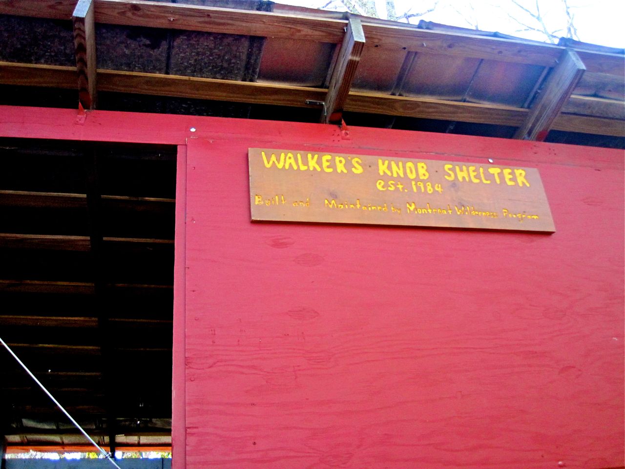
Walker’s Knob shelter
The Walker’s Knob Shelter is a great place to stop to have your snacks before the last mile+ to the top. Watch out not to lose the Graybeard Trail here. It turns sharply to the right about 20 feet before the clearing for the shelter.
Because of the distance, elevation gain/loss and less manicured trail conditions, this ended up being our most physically demanding hike so far. Bring plenty of snacks and water to keep the day fun.
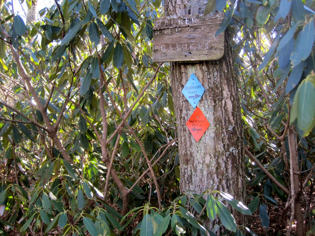
Sharp turn of Graybeard Trail near the shelter – turn right to get to the top
Hike Highlights:
• Hiking to a 5,408′ peak and the views that come with it – it’s about a 2,300′ elevation gain from the parking area.
• Great view of Mount Mitchell.
• Walking alongside Flat Creek as it courses down the mountain, over lots of cool rocks, for the first mile of the trail
• Good, long switchbacks with neat rock features. Great views of the Asheville area and its mountain ranges.
• Patches of snow on top of the mountain that had escaped the sun.


Pingback: Stone again, Stone again: Widow’s Creek Falls and the MST at Stone Mountain, NC | How We Found It - A Hiking Blog·